|
|
|
Satellite data are available for the following
regions on a near real-time basis.
| Region |
Available Data & Images |
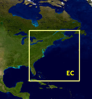
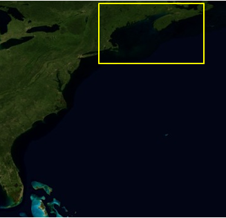
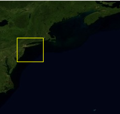
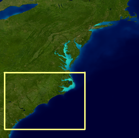
East Coast
 |
East Coast Product Info
Direct Download: Data Files & Images
AVHRR SST
AVHRR-VIIRS Multisensor SST
Geo-Polar Blended SST
PODAAC MUR SST
MODIS Chlorophyll (NOAA OC3 NIR-SWIR algorithm)
MODIS Kd490 (NASA algorithm, 1km)
MODIS Kd490 (NOAA/NESDIS coastal algorithm, 1km)
MODIS Rrs667
VIIRS Chlorophyll
VIIRS Kd490
VIIRS Rrs672
VIIRS True Color
|
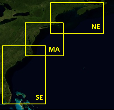
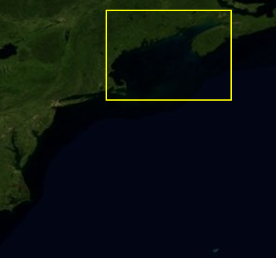
North East Coast
 |
North East Coast Product Info
Direct Download: Data Files & Images
AVHRR SST
AVHRR-VIIRS Multisensor SST
Geo-Polar Blended SST
PODAAC MUR SST
MODIS Chlorophyll (NOAA OC3 NIR-SWIR algorithm)
MODIS Kd490 (NASA algorithm, 1km)
MODIS Rrs667
OLCI Chlorophyll
OLCI Kd490
OLCI Total Suspended Matter
VIIRS Chlorophyll
VIIRS Kd490
VIIRS Rrs672
VIIRS True Color
|
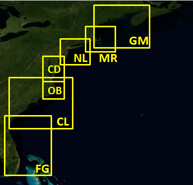
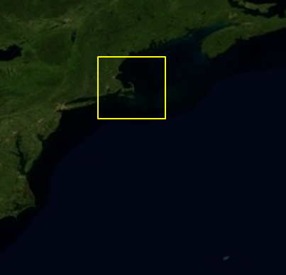
Gulf of Maine
 |
Gulf of Maine Product Info
Daily Map Viewer
Direct Download: Data Files & Images
AVHRR SST
AVHRR-VIIRS Multisensor SST
MODIS Chlorophyll (NOAA OC3 NIR-SWIR algorithm)
MODIS Kd490 (NASA algorithm, 1km):
MODIS Kd490 (NOAA/NESDIS coastal algorithm, 1km)
MODIS Kd490 (NOAA/NOS coastal algorithm, 250m):
MODIS Rrs667
OLCI Chlorophyll
OLCI Kd490
OLCI Total Suspended Matter
VIIRS Chlorophyll
VIIRS Kd490
VIIRS Rrs672
VIIRS True Color
|
Massachusetts & RI Bays
 |
Massachusetts & Rhode Island Bays Product Info
Daily Map Viewer
Direct Download: Data Files & Images
AVHRR SST
AVHRR-VIIRS Multisensor SST
MODIS Chlorophyll (NOAA OC3 NIR-SWIR algorithm)
MODIS Kd490 (NASA algorithm, 1km)
MODIS Kd490 (NOAA/NESDIS coastal algorithm, 1km)
MODIS Kd490 (NOAA/NOS coastal algorithm, 250m):
MODIS Rrs667
OLCI Chlorophyll
OLCI Kd490
OLCI Total Suspended Matter
VIIRS Chlorophyll
VIIRS Kd490
VIIRS Rrs672
VIIRS True Color
|
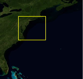
Mid-Atlantic Coast
 |
Mid-Atlantic Coast Product Info
Direct Download: Data Files & Images
AVHRR SST
AVHRR-VIIRS Multisensor SST
Geo-Polar Blended SST
PODAAC MUR SST
MODIS Chlorophyll (NOAA OC3 NIR-SWIR algorithm)
MODIS Kd490 (NASA algorithm, 1km)
MODIS Kd490 (NOAA/NOS coastal algorithm, 250m):
MODIS Rrs667
OLCI Chlorophyll
OLCI Kd490
OLCI Total Suspended Matter
VIIRS Chlorophyll
VIIRS Kd490
VIIRS Rrs672
VIIRS True Color
|
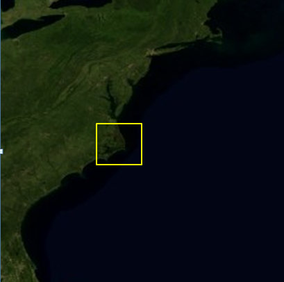
NY-NJ Bight & Long Island Sound
 |
NY-NJ Bight & Long Island Sound Product Info
Daily Map Viewer
Direct Download: Data Files & Images
AVHRR SST
AVHRR-VIIRS Multisensor SST
MODIS Chlorophyll (NOAA OC3 NIR-SWIR algorithm)
MODIS Kd490 (NASA algorithm, 1km)
MODIS Kd490 (NOAA/NESDIS coastal algorithm, 1km)
MODIS Kd490 (NOAA/NOS coastal algorithm, 250m):
MODIS Rrs667
OLCI Chlorophyll
OLCI Kd490
OLCI Total Suspended Matter
VIIRS Chlorophyll
VIIRS Kd490
VIIRS Rrs672
VIIRS True Color
|
Chesapeake & Delaware Bays
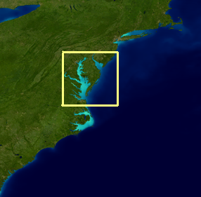 |
Chesapeake & Delaware Bays Product Info
Daily Map Viewer
Direct Download: Data Files & Images
AVHRR SST
AVHRR-VIIRS Multisensor SST
PODAAC MUR SST
MODIS Chlorophyll (NOAA OC3 NIR-SWIR algorithm)
MODIS Kd490 (NOAA/NESDIS coastal algorithm, 1km)
MODIS Kd490 (NOAA/NOS coastal algorithm, 250m):
MODIS Total Suspended Matter (TSM, 250m)
OLCI Chlorophyll
OLCI Kd490
OLCI Total Suspended Matter
VIIRS Chlorophyll
VIIRS Kd490
VIIRS Total Suspended Matter (TSM, 375m)
VIIRS True Color
|
South East Coast
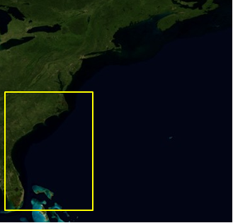 |
South East Coast Product Info
Direct Download: Data Files & Images
AVHRR SST
AVHRR-VIIRS Multisensor SST
Geo-Polar Blended SST
PODAAC MUR SST
MODIS Chlorophyll (NOAA OC3 NIR-SWIR algorithm)
MODIS Kd490 (NASA algorithm, 1km)
MODIS Kd490 (NOAA/NESDIS coastal algorithm, 1km)
MODIS Rrs667
VIIRS Chlorophyll
VIIRS Kd490
VIIRS Rrs672
VIIRS True Color
|
Outer Banks
 |
Outer Banks
Direct Download: Data Files & Images
MODIS Kd490 (NOAA/NESDIS coastal algorithm, 1km)
OLCI Chlorophyll
OLCI Kd490
OLCI Total Suspended Matter
|
Carolina Coast
 |
Carolina Coast Product Info
Daily Map Viewer
Direct Download: Data Files & Images
AVHRR SST
AVHRR-VIIRS Multisensor SST
MODIS Chlorophyll (NOAA OC3 NIR-SWIR algorithm)
MODIS Kd490 (NASA algorithm, 1km)
MODIS Kd490 (NOAA/NESDIS coastal algorithm, 1km)
MODIS Rrs667
OLCI Chlorophyll
OLCI Kd490
OLCI Total Suspended Matter
VIIRS Chlorophyll
VIIRS Kd490
VIIRS Rrs672
VIIRS True Color
|
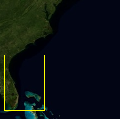
Florida - Georgia Coast
 |
Florida - Georgia Coast Product Info
Daily Map Viewer
Direct Download: Data Files & Images
AVHRR SST
AVHRR-VIIRS Multisensor SST
MODIS Chlorophyll (NOAA OC3 NIR-SWIR algorithm)
MODIS Kd490 (NASA algorithm, 1km)
MODIS Kd490 (NOAA/NESDIS coastal algorithm, 1km)
MODIS Rrs667
OLCI Chlorophyll
OLCI Kd490
OLCI Total Suspended Matter
VIIRS Chlorophyll
VIIRS Kd490
VIIRS Rrs672
VIIRS True Color
|
East Coast Node filenaming convention
Sample shell script to download
data from http directory tree
Latitude-Longitude file for each region
Data citation: Please acknowledge "NOAA CoastWatch/OceanWatch" when you use
data from our site and cite the particular dataset DOI as appropriate.
|