|
|
|
ERDDAP is an environmental data server providing a simple, consistent way to:
- perform data analysis and visualization, e.g. to make maps and plots of
time series
- download subsets of gridded and tabular scientific datasets in the file
formats of your choice
- use programming languages such as R and Python to access
and analyze data from within your own programs
It transparently acts as a middleman between you and environmental
data on disparate data servers.
The following are CoastWatch ERDDAP servers. Note that generally each server
hosts different data sets with some overlap.
Online tutorials for learning how to use ERDDAP:
Some ERDDAP features:
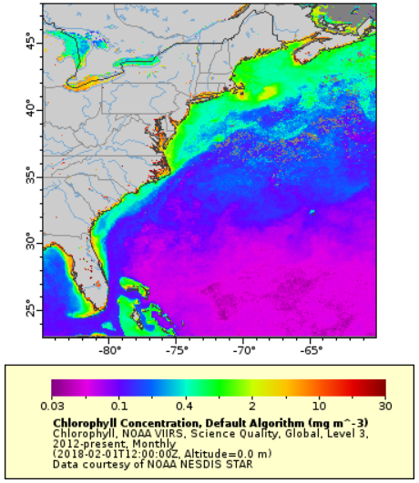
- Make customized maps and time series plots and export them as .png
or .pdf images.
- Include a customized map or plot in your own web pages using just a URL
to the ERDDAP server. The URL permits automatic real-time satellite updates
of your map or plot on your website.
- Export data in the format of your choice, e.g.
.html table, ESRI .asc and .csv, Google Earth .kml, .mat, .nc, .txt, .csv,
.json, and .xhtml
- Both satellite (grid) and in-situ (tabular) data are included on
ERDDAP servers, facilitating analyses for spatial and temporal environmental
studies.
|
|
|