|
|
|
East Coast Satellite Data Training Class
Due to the COVID-19 pandemic, we have suspended all in-person courses.
Those who already registered will be contacted.
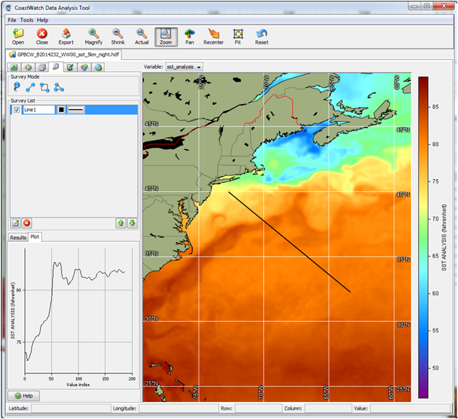
CoastWatch Data Analysis Tool |
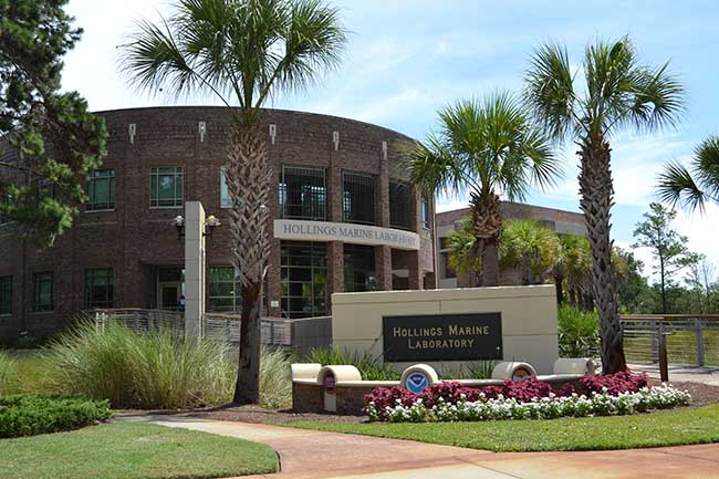
Hollings Marine Laboratory, Charleston SC |

Charleston, SC |
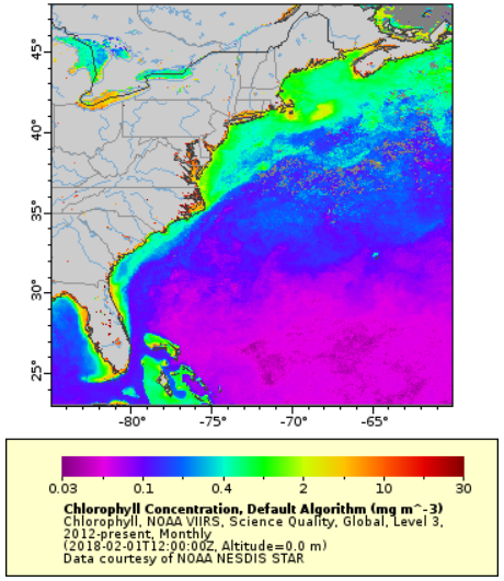
ERDDAP visualization & data access |
NOAA CoastWatch, East Coast Regional Node, is offering its
Ocean Satellite Data Training Course
June 23-25, 2020
Hollings Marine Laboratory, Charleston, SC
Are you interested in using oceanographic satellite data in your work but
don't know where to start? The CoastWatch East Coast Node will offer a
three-day course where participants learn about environmental satellite data
and how to easily obtain and use it. Participants gain hands on
experience working with the data of interest to them.
A major goal of the course is to provide scientists, students and
resource managers, who are not regular users of satellite data, with the
knowledge and tools they need to incorporate satellite data into their
research and management projects. Hands-on lab time to learn the tools is
part of the course.
-
Participants will need to bring your own laptop
to the class, with the software loaded that you normally use for data
analysis, e.g. ArcGIS, R, etc.
Also, additional
software to view and work with data will be provided ahead of the class
via download for all participants.
-
Participants will need to bring a project idea
for a project you would like to work on during the hands-on lab portion
of the class. The more relevant the project to your own work, the more
you will get out of the class.
- Course Fee: There is no financial fee to attend this course. However we
do expect ‘payment’ from participants in the form of a PowerPoint slide after
the course indicating the results of your class project or how you are using
satellite data in your work. These slides have been crucial for obtaining
support for these courses, and for allowing NOAA management to demonstrate the
importance of the public's investment in satellite data.
Check back later for the Class Agenda and other logistics.
|


