 |
|
Daily Satellite Image
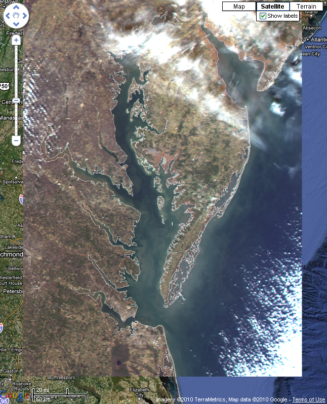
Satellite images are useful for observing the Earth at visible wavelengths, like a camera photo of the Earth. Land and water features can be seen in these images. Because cloud coverage is very obvious, these images can be used to quickly determine if a particular day's image is useful for observing a land or water feature. The Aqua satellite passes overhead once per day in the early afternoon (daytime equator crossing is approximately at 1:30 PM local time).
|
|